EEPS 1610: “Solid Earth Geophysics” is led by Professor Colleen Dalton and Visiting Assistant Professor Hannah Krueger, and explores fundamental geophysical techniques for determining the Earth's internal structure and dynamic processes. This year’s new practical component, spearheaded by Krueger, provides students with hands-on experience in archaeological geophysics while supporting the ongoing care of Providence’s municipal cemetery. "We are using this new lab component to introduce students to methods commonly used outside of academia," she explained, "and being able to connect our observations with real people's lives is incredibly meaningful!"
The North Burial Ground is Providence’s largest burial ground, and second-largest green space, stretching across more than 110 acres. Established in 1700, the cemetery didn’t begin keeping consistent records until the late 19th century, leaving over a century of undocumented burials and unanswered questions. The North Burial Ground also preserves historic Freeground spaces, where the unmarked graves of unknown, impoverished, or unclaimed individuals were laid to rest. Between inconsistent records, unmarked graves, and shifting landscapes across the centuries, the North Burial Ground must find innovative and non-invasive ways to identify available land and research its complex history.
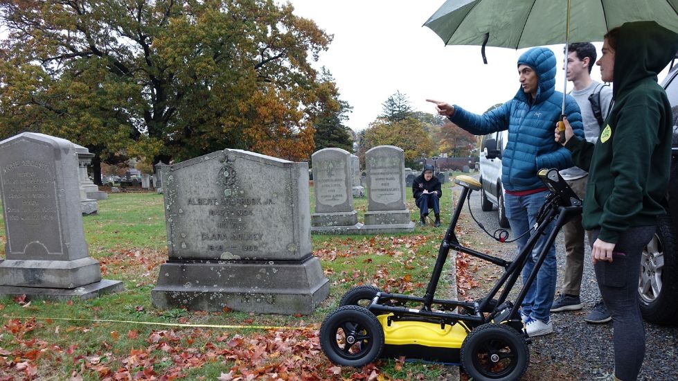
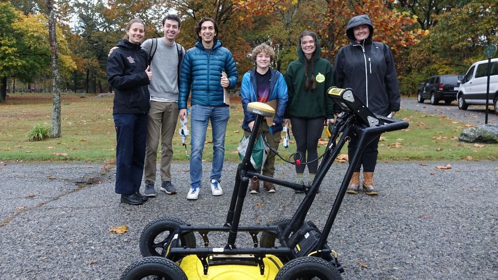
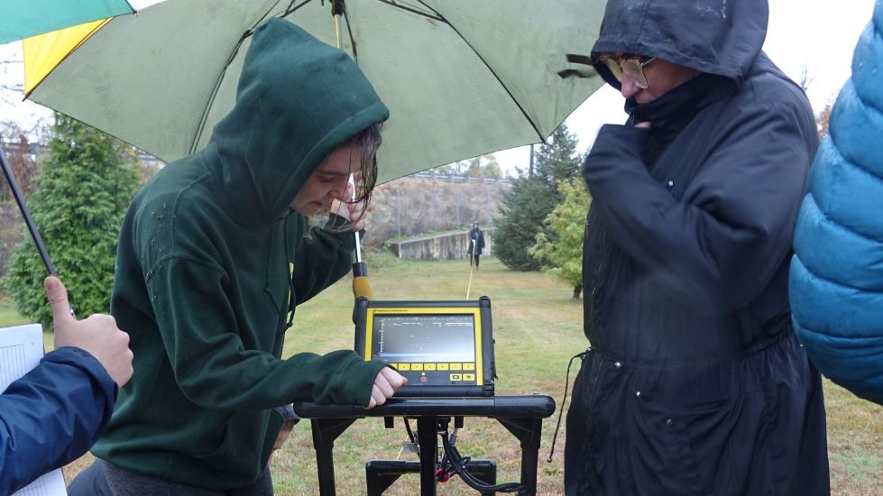
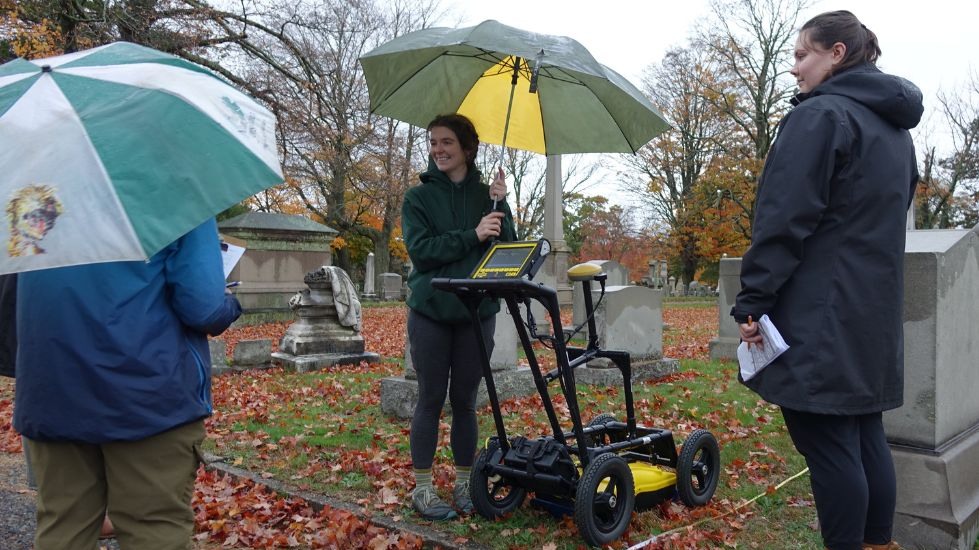
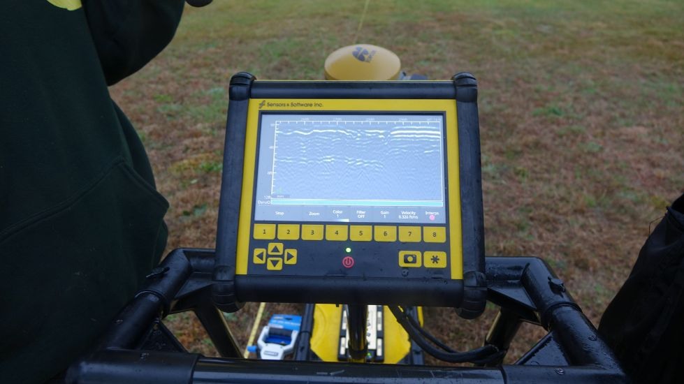
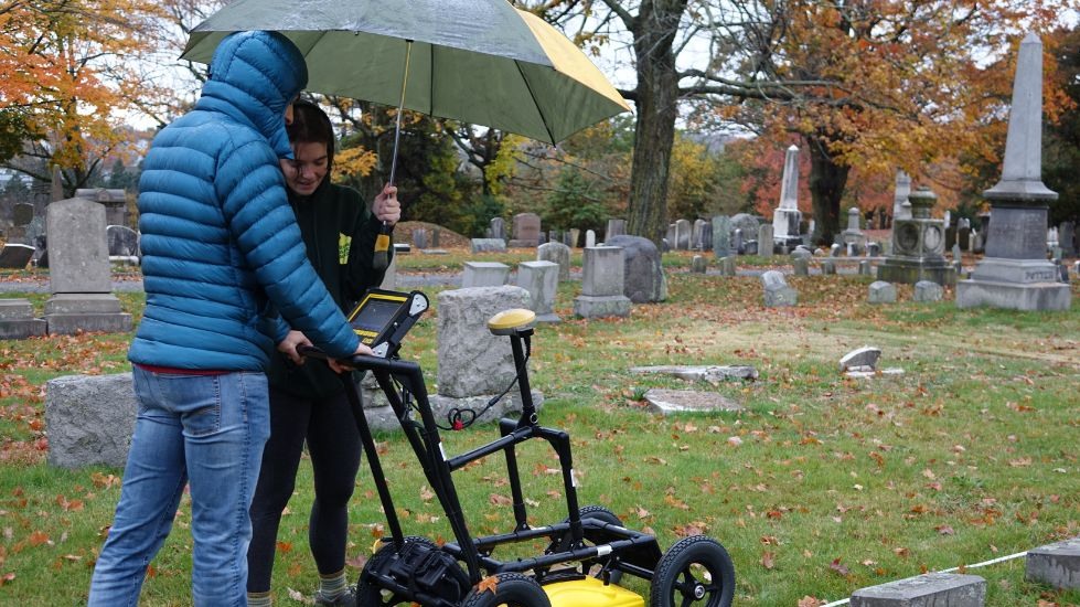
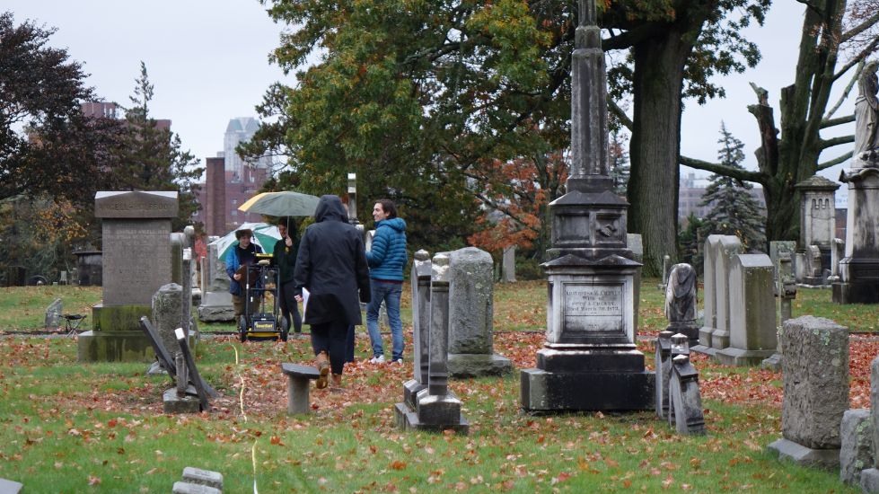
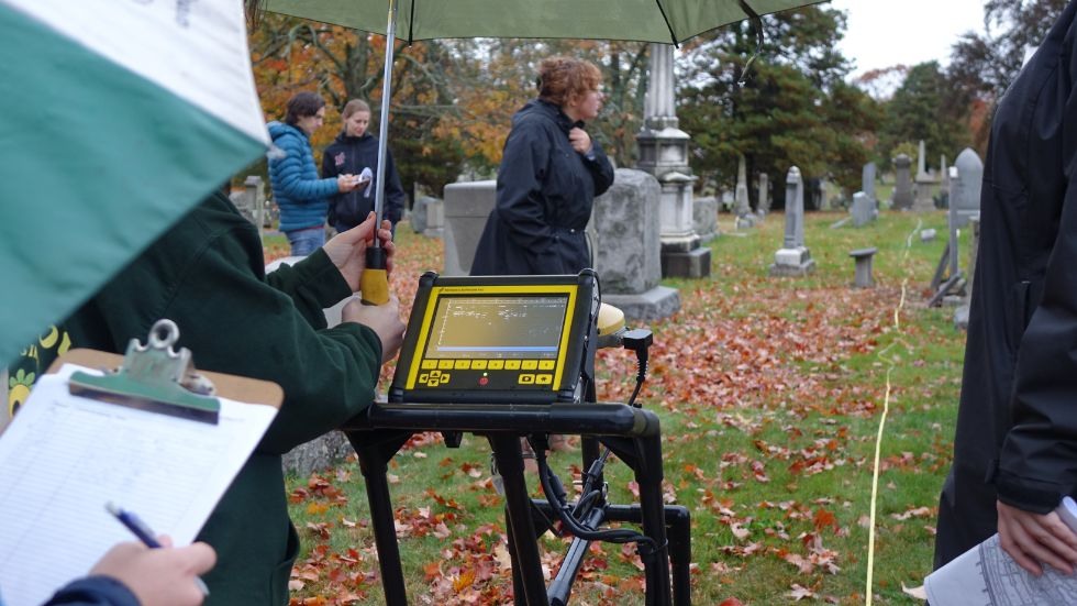
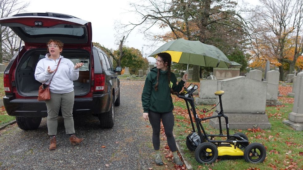
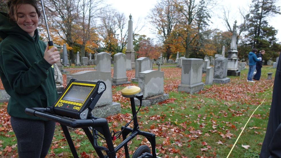
Divided into two groups, the geophysics students met with Cemetery Director Annalisa Heppner to learn about the history and landscape of North Burial Ground. They then used ground penetrating radar to survey specific areas that Heppner identified as being particularly mysterious. “Working with students is always an exciting time,” said Heppner, “and the geophysics students asked a lot of great questions about the history of the North Burial Ground and why GPR is a useful tool for cemetery management.” With the radar, the students were able to explore layers of earth without disturbing the burials. The data they gathered will help illustrate the cemetery’s layout, especially in areas where traditional documentation falls short.
The class will use the data to create a detailed report that the Providence North Burial Ground will use to support the ongoing care and use of the cemetery. “We hope to use these results to inform our land management decisions, and help us understand gaps in our burial records for future land use and interpretation!” Heppner explained. “GPR is just one tool in the toolkit for cemetery managers, and it’s great to be able to use [the North Burial Ground] as a learning lab for students!”