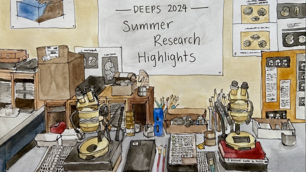
2024 Summer Undergraduate Research Highlights
From missions to the Moon & Mars, to lake sediments, to climate modeling, many undergraduate students worked on groundbreaking research in DEEPS this summer break. This year, we are excited to showcase these diverse research projects through a special combination of art, writing, and photography developed by Claire Xu ‘27.
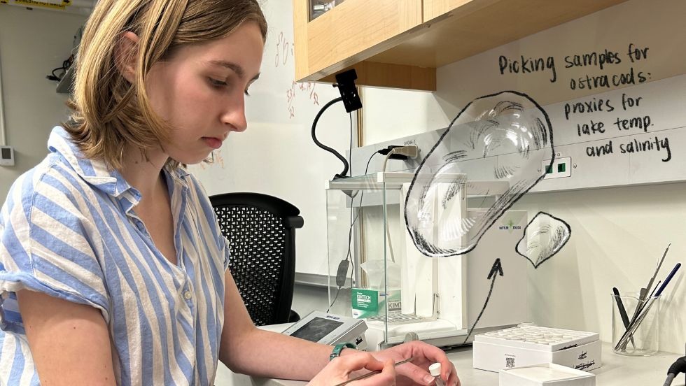
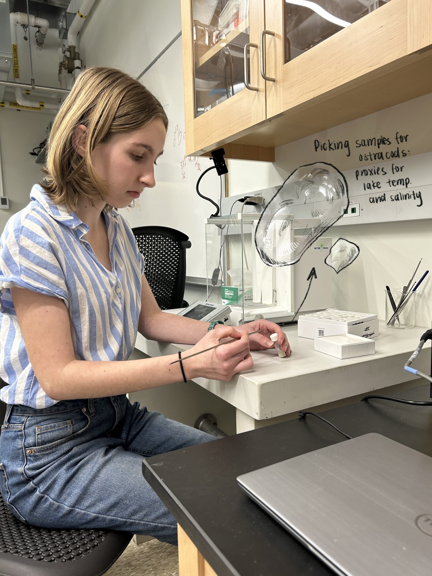
Anna Dubey: "I am analyzing Western U.S. ostracod fossils from Silver Lake, historically Glacial Lake Mojave, to assess the lake’s conditions across the last deglaciation." (Advisor: Dan Ibarra)
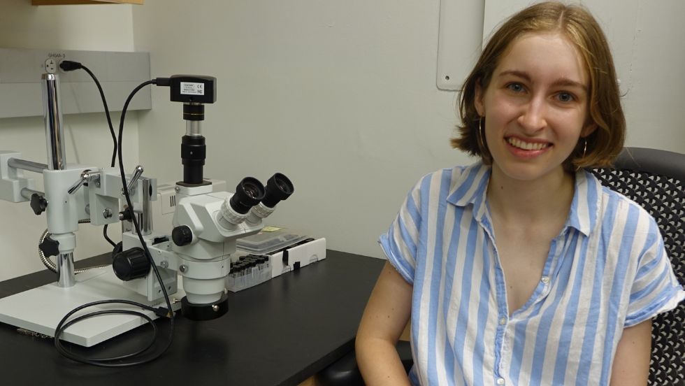
Anna Dubey: "I am analyzing Western U.S. ostracod fossils from Silver Lake, historically Glacial Lake Mojave, to assess the lake’s conditions across the last deglaciation." (Advisor: Dan Ibarra)
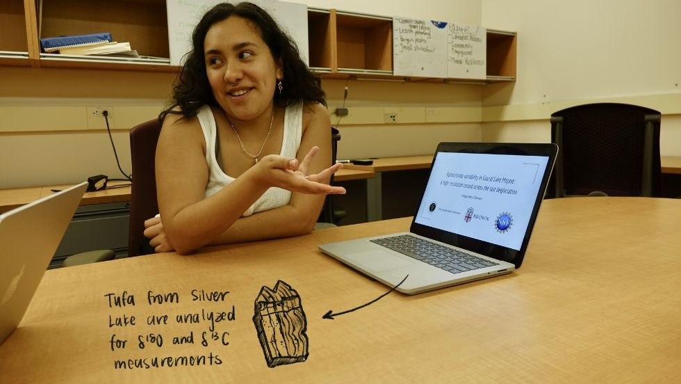
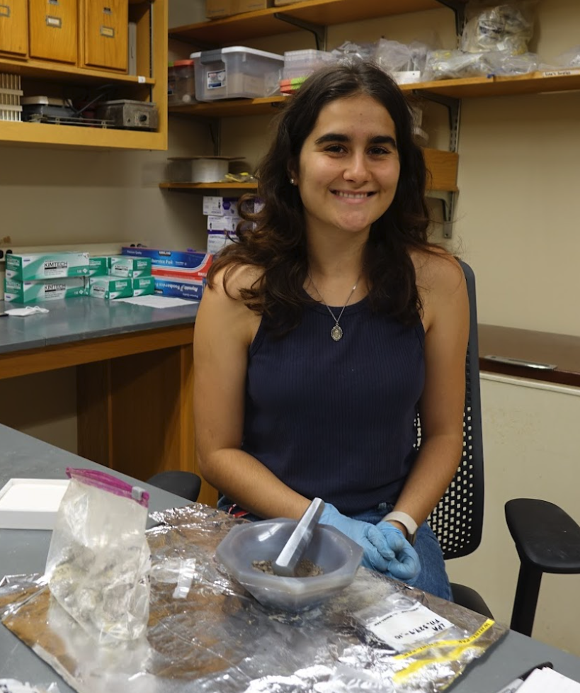
Alejandra Torres: “I am creating a time series using stable isotope analysis of tufa records from Glacial Lake Mojave (also known as Silver Lake, located near modern day Los Angeles, CA) to assess changes in lake conditions across the last deglacial period." (Advisor: Dan Ibarra, 2024 DEEPS-Leadership Alliance REU student from Dallas College)
Alejandra Torres: “I am creating a time series using stable isotope analysis of tufa records from Glacial Lake Mojave (also known as Silver Lake, located near modern day Los Angeles, CA) to assess changes in lake conditions across the last deglacial period." (Advisor: Dan Ibarra, 2024 DEEPS-Leadership Alliance REU student from Dallas University)
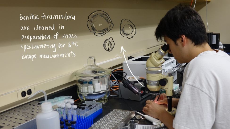
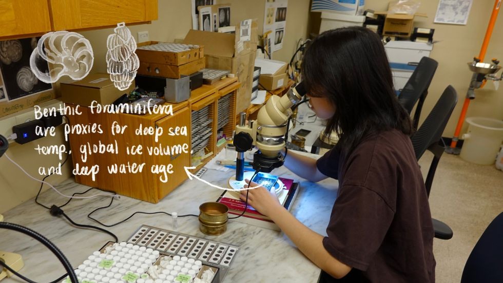
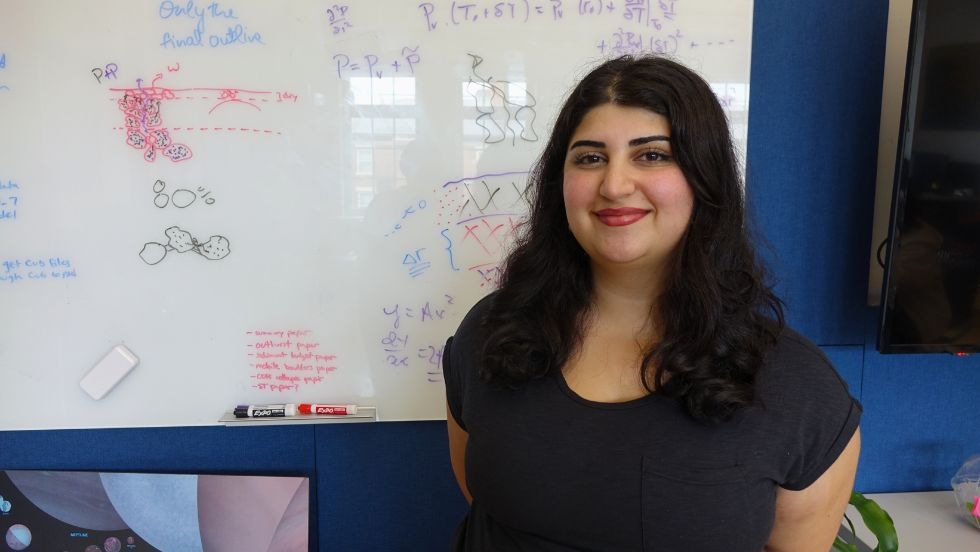
Galen Gibb: “I am using benthic foraminiferal fossils of the Milioda order to uncover the extent of methane hydrate dissociation and subsequent methane release in the Indian Ocean over the past 1.4 million years." (Advisor: Steve Clemens)
Galen Gibb: “I am using benthic foraminiferal fossils of the Milioda order to uncover the extent of methane hydrate dissociation and subsequent methane release in the Indian Ocean over the past 1.4 million years." (Advisor: Steve Clemens)
Claire Xu: "I am using benthic foraminifera from Site 846 in the eastern Equatorial Pacific to reconstruct δ18O and δ13C records for the Pliocene (5.3-2.6 million years ago)." (Advisor: Tim Herbert)
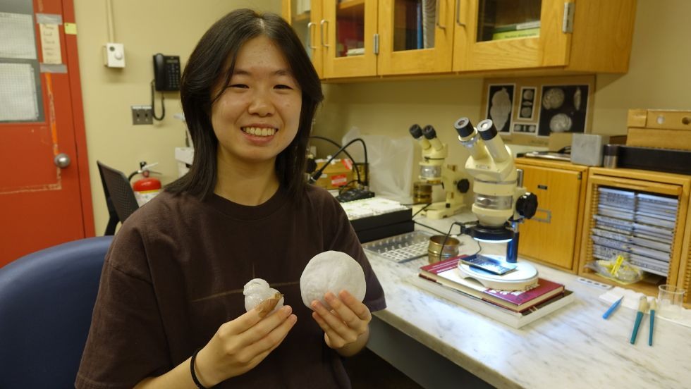
Claire Xu: "I am using benthic foraminifera from Site 846 in the eastern Equatorial Pacific to reconstruct δ18O and δ13C records for the Pliocene (5.3-2.6 million years ago)." (Advisor: Tim Herbert)

Andrea S. Jimenez: “I am using triple oxygen isotope measurements from Samoan lavas to constrain the origins of oxygen in the mantle and better understand the influence of crustal recycling in the Samoan mantle plume." (Advisor: James W. Dottin III, 2024 DEEPS-Leadership Alliance REU student from University of Puerto Rico at Mayagüez)
Andrea S. Jimenez: “I am using triple oxygen isotope measurements from Samoan lavas to constrain the origins of oxygen in the mantle and better understand the influence of crustal recycling in the Samoan mantle plume." (Advisor: James W. Dottin III, 2024 DEEPS-Leadership Alliance REU student from University of Puerto Rico at Mayagüez)
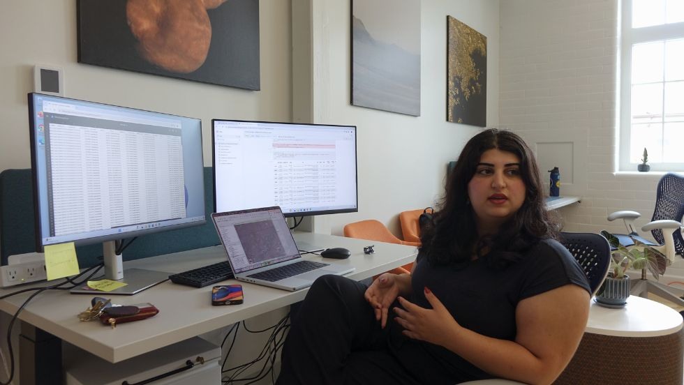
Margaret Gonzalez: “I am using observations from floats in the Southern Ocean to characterize Antarctic Winter Water (a cold water mass trapped below the surface Mixed Layer) and understand its connections to the carbon cycle." (Advisor: Mara Freilich, 2024 DEEPS-Leadership Alliance REU student from Loyola University Chicago)
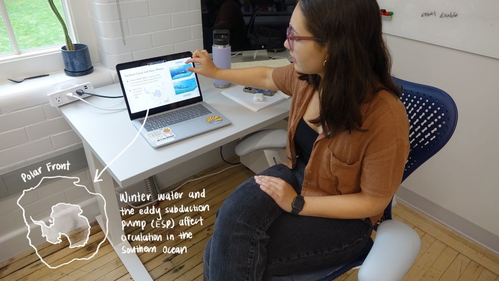
Margaret Gonzalez: “I am using observations from floats in the Southern Ocean to characterize Antarctic Winter Water (a cold water mass trapped below the surface Mixed Layer) and understand its connections to the carbon cycle." (Advisor: Mara Freilich, 2024 DEEPS-Leadership Alliance REU student from Loyola University Chicago)
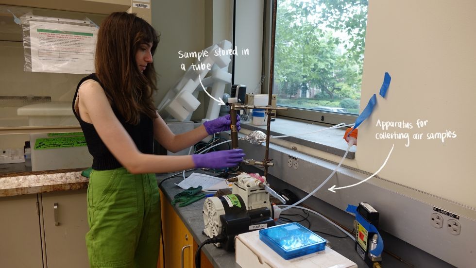
Emma Blankstein: “I am developing an ozone calibration for the Breathe Providence Project intra-urban air monitoring network and field collecting and analyzing ozone and NOx samples to better understand local sources and transport of pollution." (Advisor: Meredith Hastings)
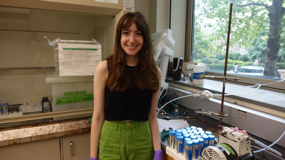
Emma Blankstein: “I am developing an ozone calibration for the Breathe Providence Project intra-urban air monitoring network and field collecting and analyzing ozone and NOx samples to better understand local sources and transport of pollution." (Advisor: Meredith Hastings)
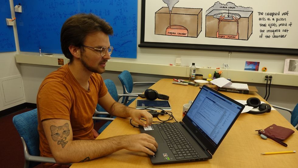
Gregorio Posada Pardo: “I'm using numerical modeling to identify the appropriate conditions required to replicate the magma chamber evolution of polycyclic caldera systems, with a focus on post-collapse recovery periods." (Advisor: Chris Huber)
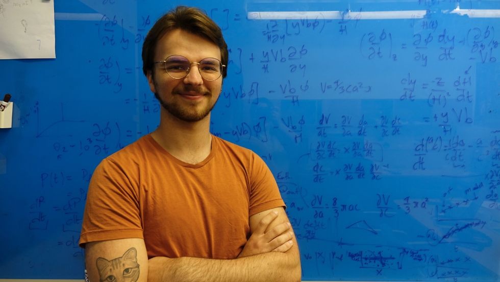
Gregorio Posada Pardo: “I'm using numerical modeling to identify the appropriate conditions required to replicate the magma chamber evolution of polycyclic caldera systems, with a focus on post-collapse recovery periods." (Advisor: Chris Huber)
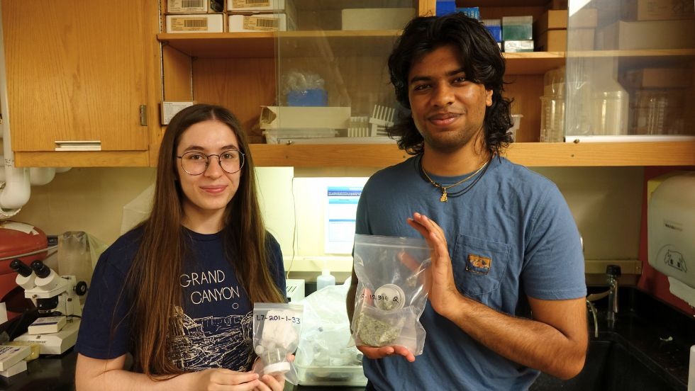
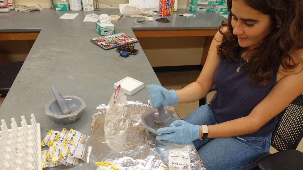
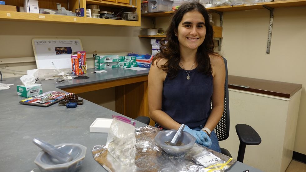
Shannon White and Dev Patel: “We are analyzing peridotite samples from Patagonia and Antarctica to attempt to model the mantle processes that formed them through inferences on bulk composition and dynamics." (Advisor: Alberto Saal)
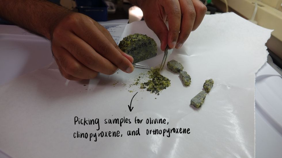
Shannon White and Dev Patel: “We are analyzing peridotite samples from Patagonia and Antarctica to attempt to model the mantle processes that formed them through inferences on bulk composition and dynamics." (Advisor: Alberto Saal)
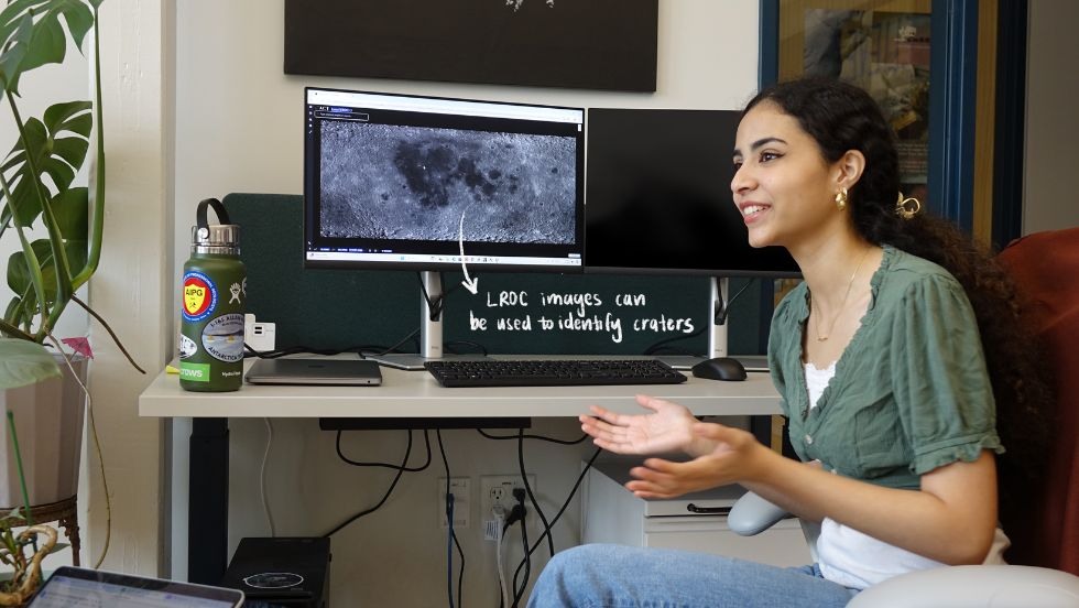
Sierra Khan: “I am locating small fresh craters on the Moon’s surface using LROC NAC pairs to search for the exact coordinates of known new impacts." (Advisor: Ingrid Daubar)

Sierra Khan: “I am locating small fresh craters on the Moon’s surface using LROC NAC pairs to search for the exact coordinates of known new impacts." (Advisor: Ingrid Daubar)
Ariyana Bonab: “I'm using HiRISE data of Mars to search for rockfalls on the planet’s surface in order to identify global triggers of Marsquakes and impact activity." (Advisor: Ingrid Daubar, Boston University)
Ariyana Bonab: “I'm using HiRISE data of Mars to search for rockfalls on the planet’s surface in order to identify global triggers of Marsquakes and impact activity." (Advisor: Ingrid Daubar)
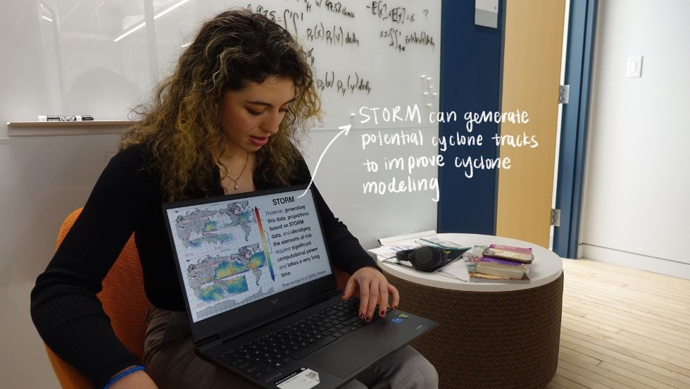
Abrielle Mannino: “I am using a U-Net model trained on STORM to create tropical cyclone predictions, and using this data to create maps visualizing the frequency of hurricanes in the South Pacific region and the likelihood they will threaten vital infrastructure for the UN South Pacific Community." (Advisor: Chris Horvat, 2024 DEEPS-Leadership Alliance REU student from Rollins College)
Abrielle Mannino: “I am using a U-Net model trained on STORM to create tropical cyclone predictions, and using this data to create maps visualizing the frequency of hurricanes in the South Pacific region and the likelihood they will threaten vital infrastructure for the UN South Pacific Community." (Advisor: Chris Horvat, 2024 DEEPS-Leadership Alliance REU student from Rollins College)
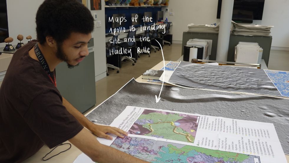
WaTae Mickey: “I'm revisiting the origin of the lunar sinuous rilles (specifically the Hadley Rille near the Apollo 15 landing site) using new topographic data and imagery in order to narrow down the origin of the Hadley Rille." (Advisor: Jim Head)
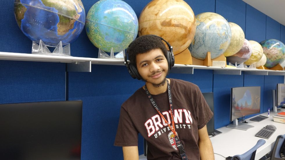
WaTae Mickey: “I'm revisiting the origin of the lunar sinuous rilles (specifically the Hadley Rille near the Apollo 15 landing site) using new topographic data and imagery in order to narrow down the origin of the Hadley Rille." (Advisor: Jim Head)
Isabel Tribe: "I am analyzing organic material preserved in a 600 meter deep terrestrial sediment core from Bogotá, Colombia to reconstruct the hydroclimate of the Northern Tropical Andes with a focus on the Pliocene, the last epoch during which temperatures and CO2 levels were higher than preindustrial levels." (Advisor: James Russell)
Isabel Tribe: "I am analyzing organic material preserved in a 600 meter deep terrestrial sediment core from Bogotá, Colombia to reconstruct the hydroclimate of the Northern Tropical Andes with a focus on the Pliocene, the last epoch during which temperatures and CO2 levels were higher than preindustrial levels." (Advisor: James Russell)
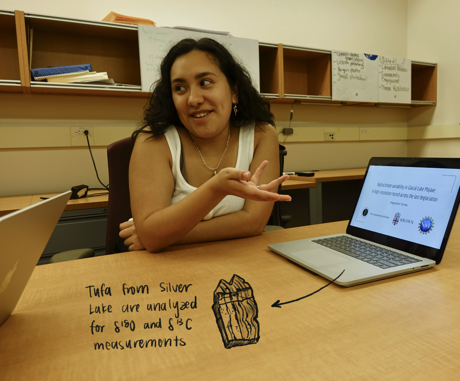 I am creating a time series using stable isotope analysis of tufa records from Glacial Lake Mojave (also known as Silver Lake, located near modern day Los Angeles, CA) to assess changes in lake conditions across the last deglacial period. This area is important for understanding how water availability fluctuates in response to climate change, as the region previously had lakes that have since dried up during the last deglaciation.
 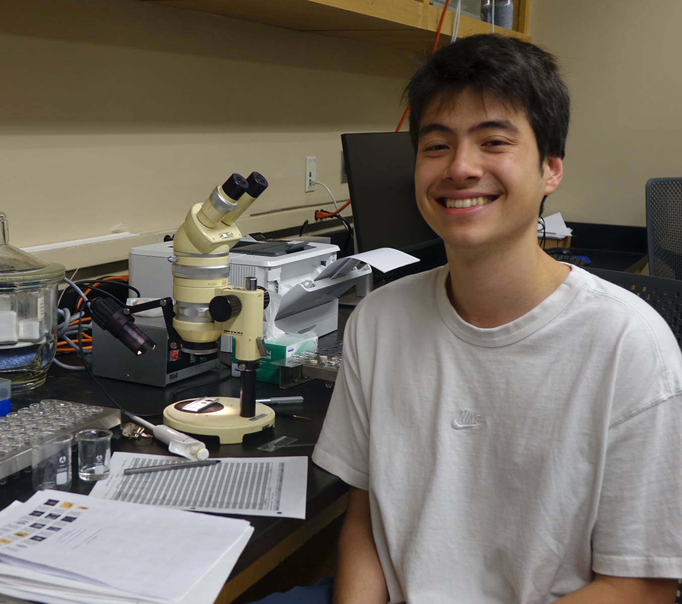 I am using benthic foraminiferal fossils of the Milioda order to uncover the extent of methane hydrate dissociation and subsequent methane release in the Indian Ocean over the past 1.4 million years. In the Sulfate-Methane Transition Zone (SMTZ), located beneath the seafloor, bacteria consume sulfate and methane to produce bicarbonate, whose carbon signature is taken up by the forams when they form their calcium carbonate shells. Methane, a biological product, tends to contain more 12C instead of 13C because biological processes, like photosynthesis, favor the lighter 12C isotope over the heavier 13C isotope. So, the generated bicarbonate used by forams—and thus, forams themselves—have a low δ13C signature. More negative δ13C values indicate a larger release of methane and therefore greater methane hydrate dissociation.
 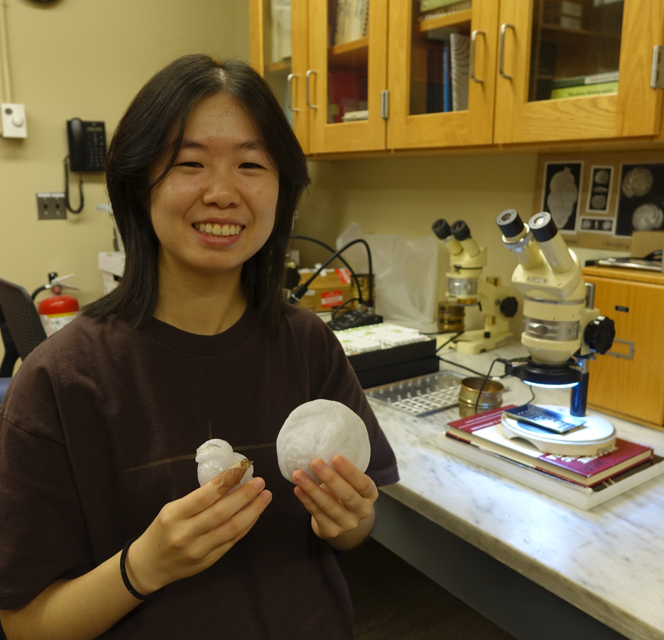 I am using benthic foraminifera from Site 846 in the eastern Equatorial Pacific to reconstruct δ18O and δ13C records for the Pliocene (5.3-2.6 million years ago). This period is especially relevant for climate projections since simulations indicate the Pliocene as a likely analog of global climate in 2030. This real-world application of my work is fascinating to me: we aim to understand not only how Earth’s climate evolved in the past, but how it may progress in response to global warming in the future. Notably, the Pliocene had similar carbon dioxide levels to today but no permanent Northern Hemisphere ice sheet, higher sea levels, and warmer global temperatures.
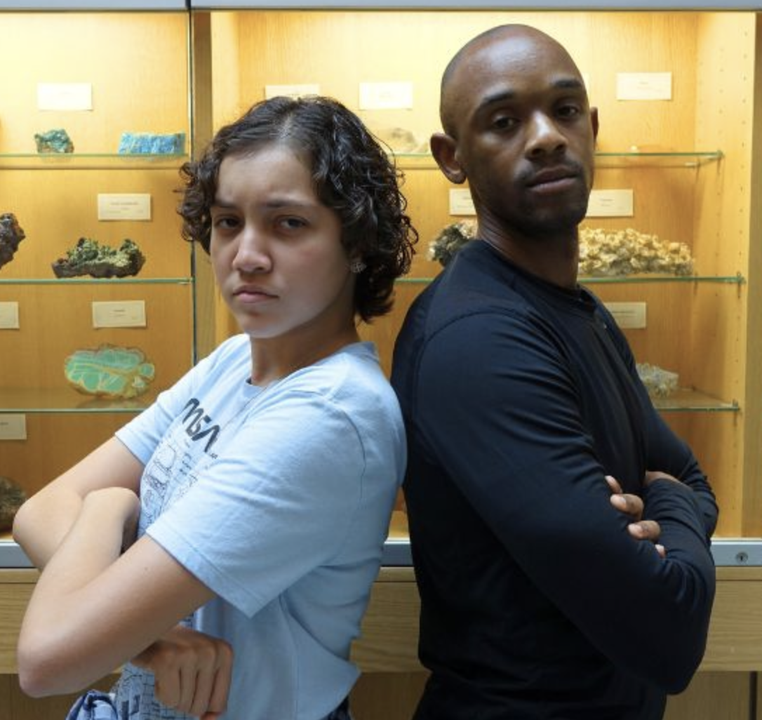
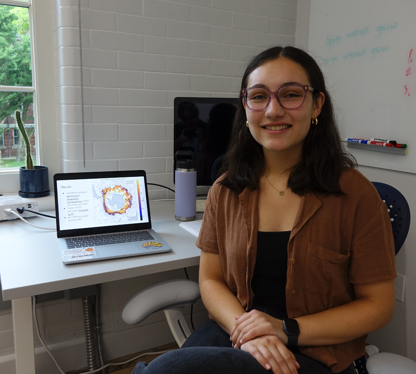 I am using observations from floats in the Southern Ocean to characterize Antarctic Winter Water (a cold water mass trapped below the surface Mixed Layer) and understand its connections to the carbon cycle. My work involves analyzing and visualizing the float data to identify locations of Winter Water and the eddy subduction pump (ESP). Winter Water can be identified by temperature decreases at certain depths; ESP anomalies, small circulation events that pull down surface water, can be identified from spice (a temperature and salinity variable that distinguishes water masses) and AOU (oxygen levels that indicates the time since the water in question was at the surface) decreases at certain depths. When all three decreases are present, an ESP anomaly is identified as Winter Water.
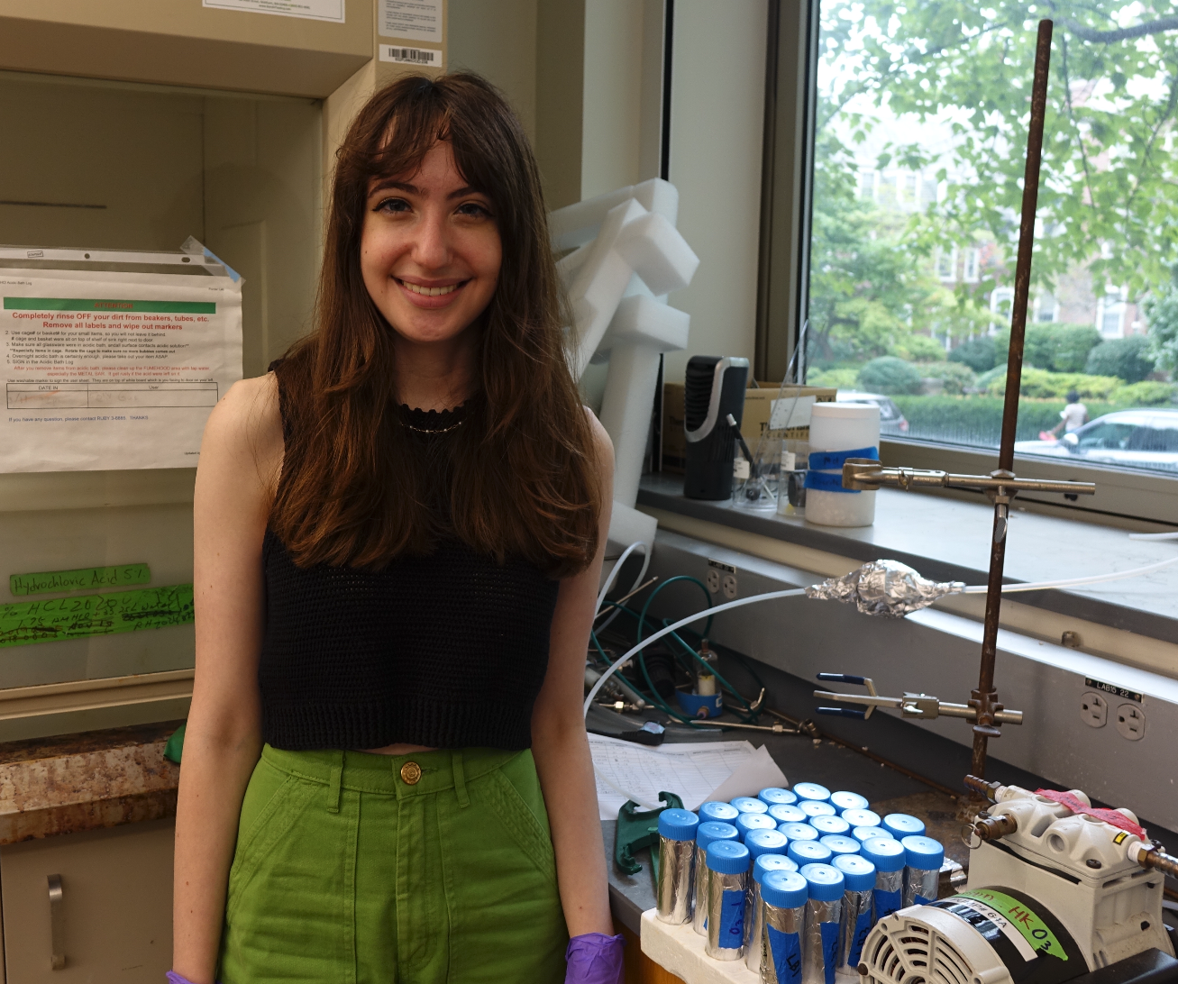 I am developing an ozone calibration for the Breathe Providence Project intra-urban air monitoring network and field collecting and analyzing ozone and NOx samples to better understand local sources and transport of pollution.
 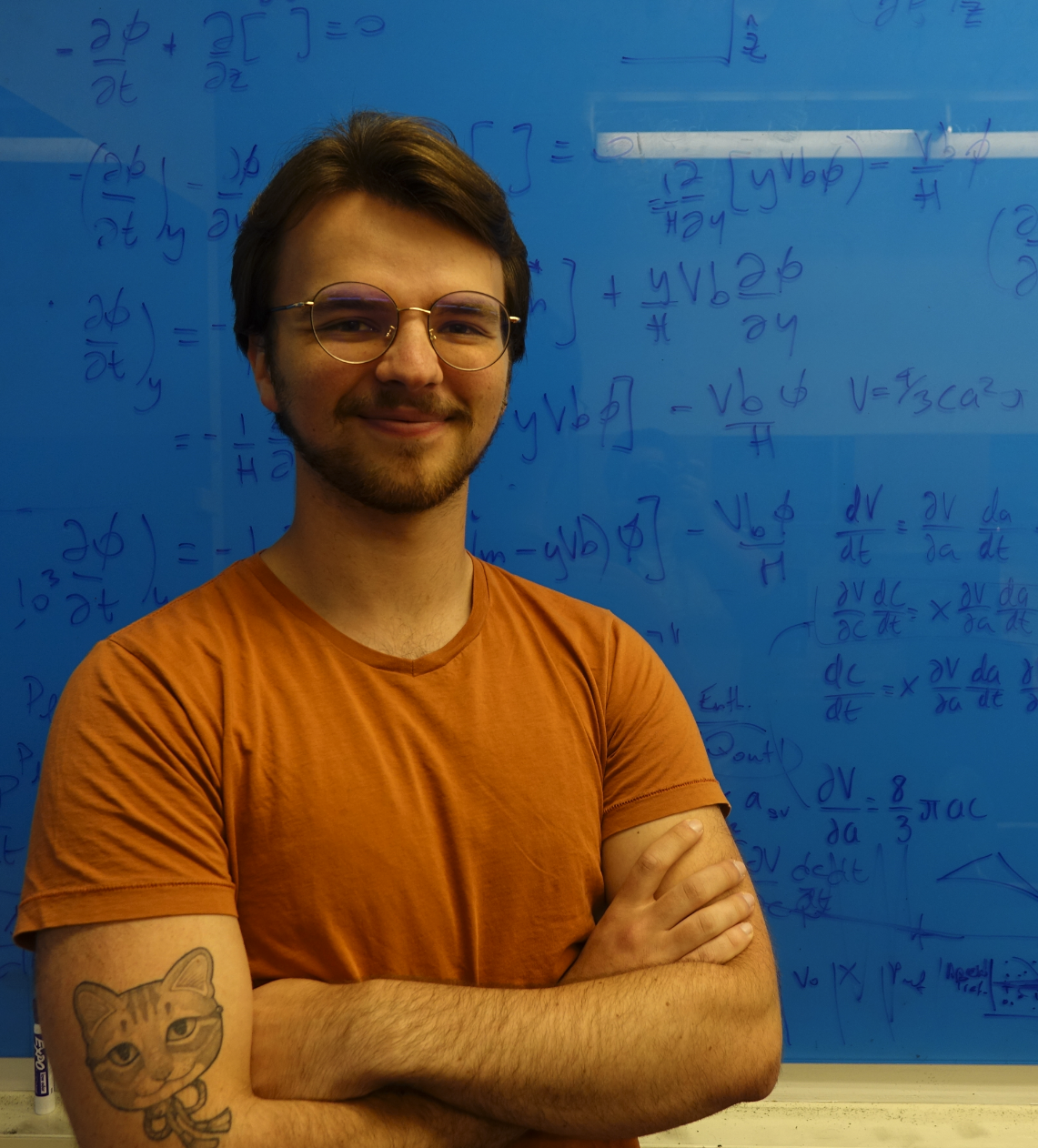 I'm using numerical modeling to identify the appropriate conditions required to replicate the magma chamber evolution of polycyclic caldera systems, with a focus on post-collapse recovery periods. Caldera systems have massive ellipsoidal magma chambers that grow wide enough for the roof above them to become unstable and collapse, resulting in an eruption that can eject almost all of the magma in the chamber, forming a caldera in the process. Some of these caldera systems go through a “caldera cycle,” where after maturation and a subsequent period of fermentation, the chamber roof collapses again.
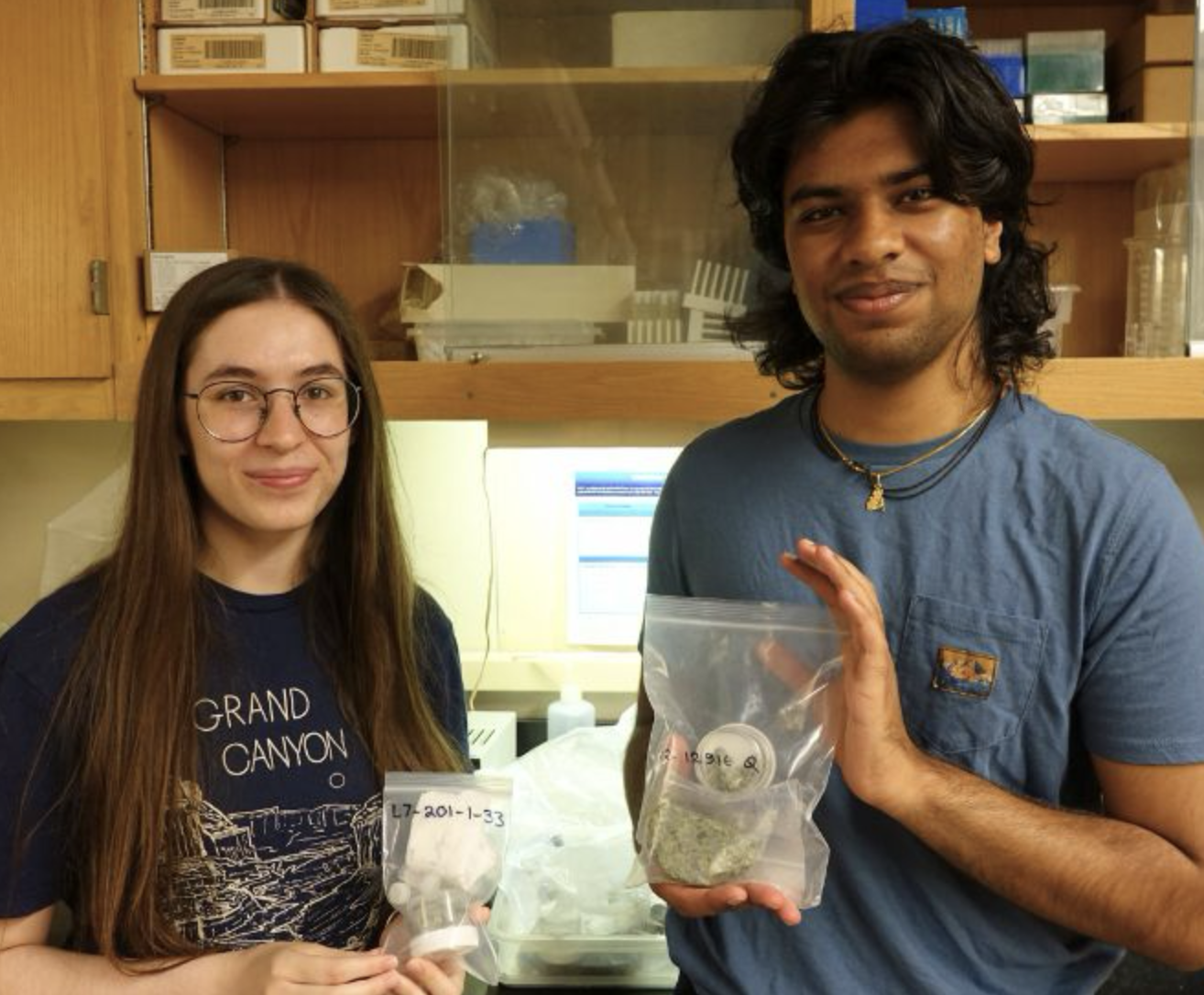
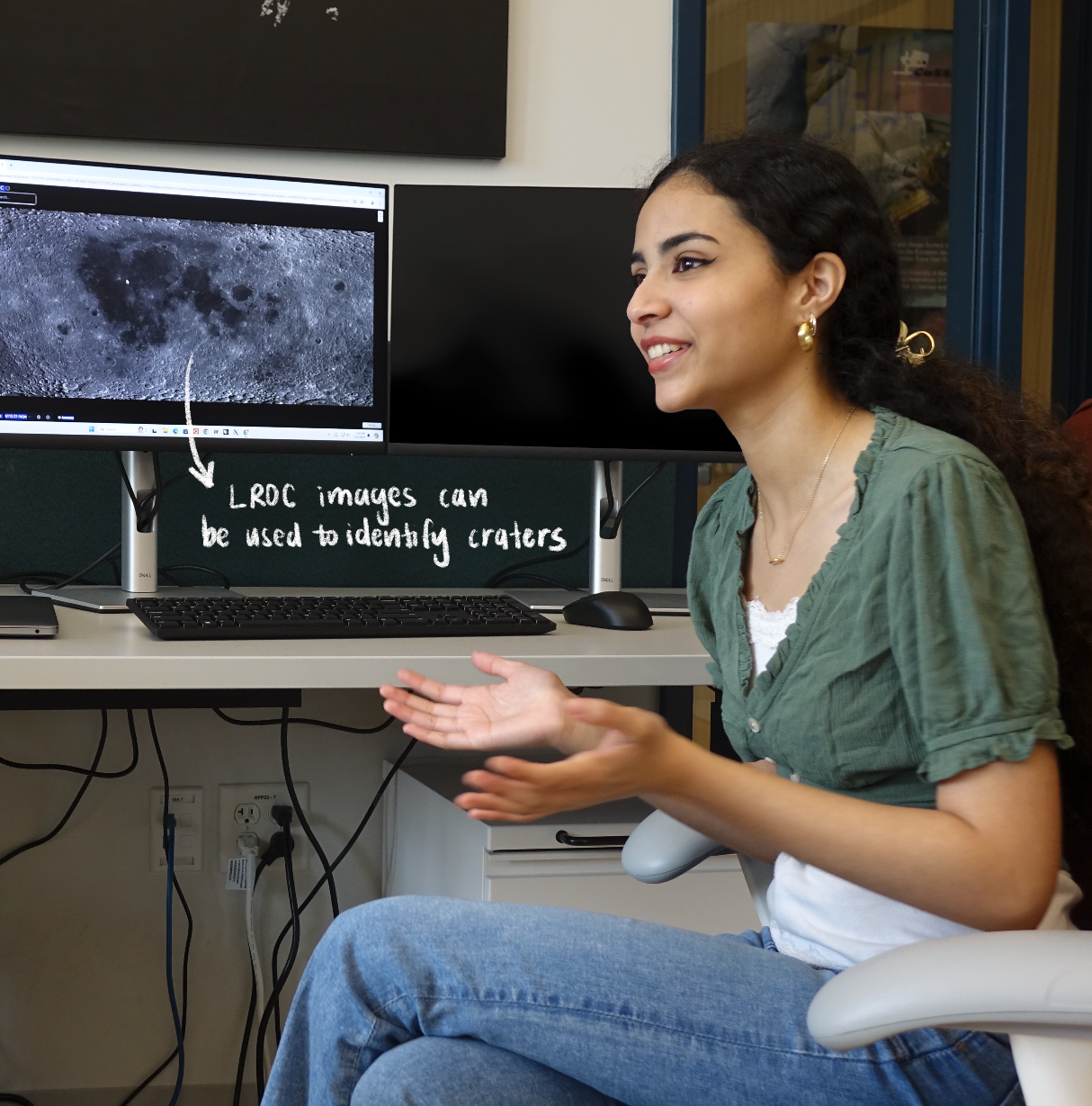 I am locating small fresh craters on the Moon’s surface using LROC NAC pairs to search for the exact coordinates of known new impacts. The Lunar Reconnaissance Orbiter Camera (LROC) narrow-angle camera (NAC) captured images of the Moon starting in 2009. By overlaying temporal pairs—two photos of the same location taken at different times with an incidence difference of no more than 3 degrees—I can find new craters that have formed. The goal of this project is to create a more comprehensive dataset of moon craters and to better understand the properties of the lunar surface. So far, 25 of the approximately 222 craters have been identified.
  I am using a U-Net model trained on STORM to create tropical cyclone predictions, and using this data to create maps visualizing the frequency of hurricanes in the South Pacific region and the likelihood they will threaten vital infrastructure for the UN South Pacific Community. Previously, cyclone tracks have not been able to be modeled comprehensively due to limited data. By utilizing machine learning through STORM, a cyclone track model, to resample and generate more tracks, the U-Net model can create a higher resolution image of potential cyclone landfalls. However, these physics-based models typically produce outputs that are not human-relevant, making it difficult to communicate results to government agencies and policymakers in affected areas. Therefore, I’m also mapping hurricane frequency for various Pacific Island countries and territories such as Vanuatu, Fiji, and Solomon islands, all places that are the first and worst impacted by climate change.
 I'm using HiRISE data of Mars to search for rockfalls on the planet’s surface in order to identify global triggers of Marsquakes and impact activity. By examining these high-res images through a convolutional neural network trained on Mars rockfall data, we can map the location of rockfalls to determine terrain characteristics like bearing capacity, mass wasting processes, and energy estimates of impact activity. This research will then be used for global bearing capacity calculations for the ExoMars/Rosalind Franklin rover landing site in 2028 to ensure safe landing in the geologically active region of Oxia Planum.
  I'm revisiting the origin of the lunar sinuous rilles (specifically the Hadley Rille near the Apollo 15 landing site) using new topographic data and imagery in order to narrow down the origin of the Hadley Rille.