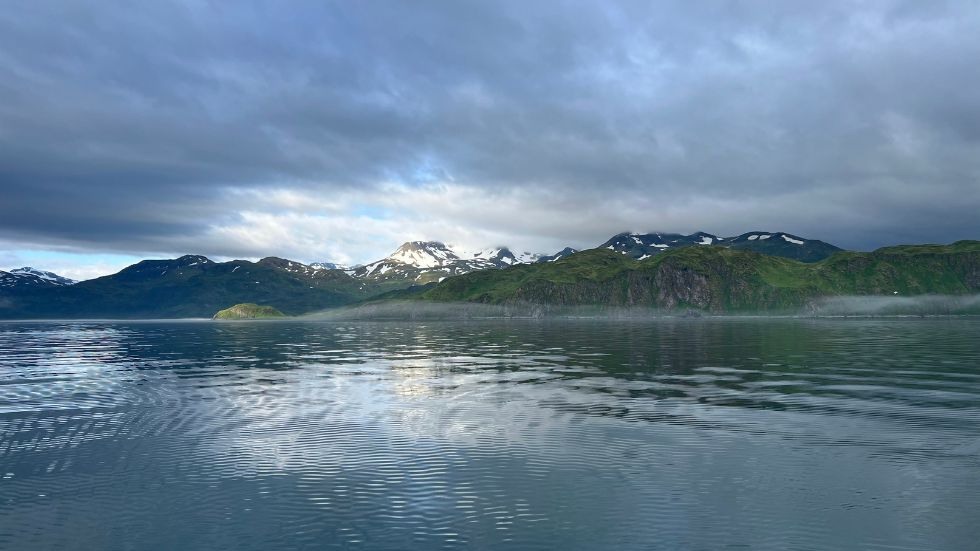
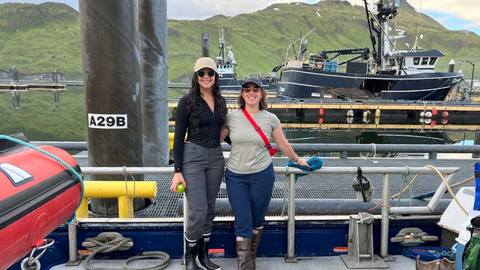
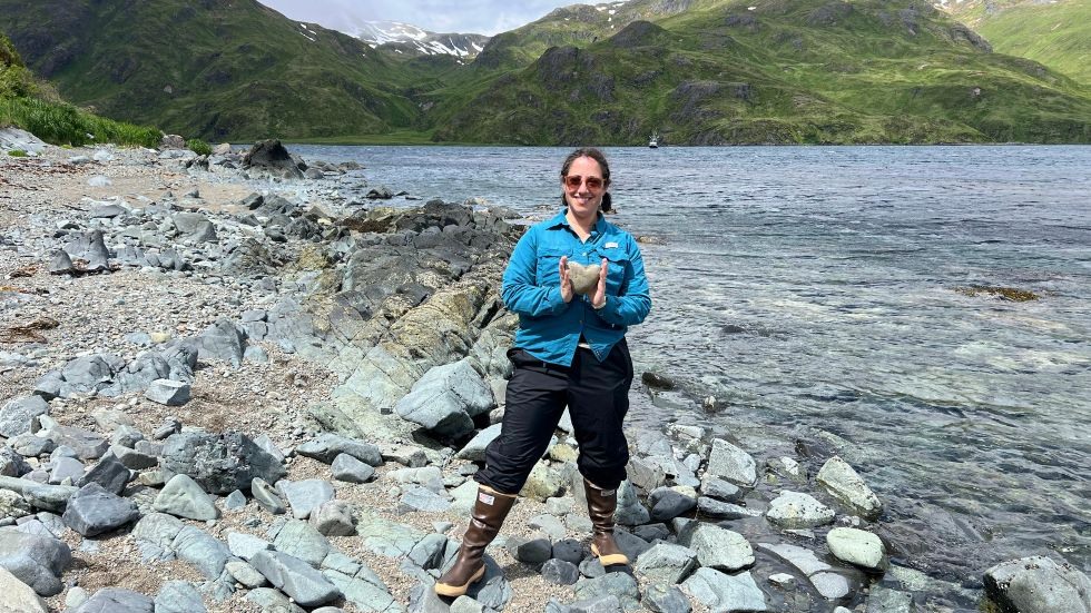
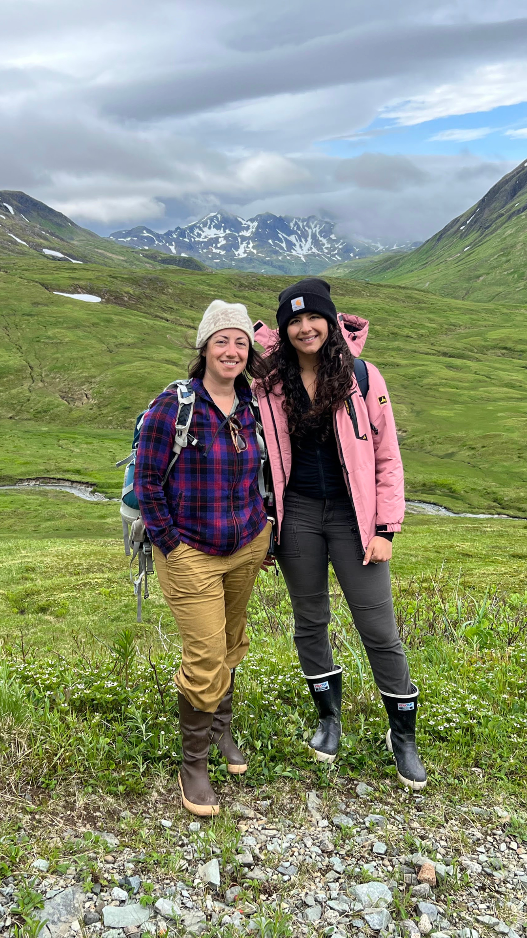
 Unalaska, a volcanic island in the Aleutian Island arc, offers a unique opportunity for geological research due to its challenging terrain and limited access. DEEPS Assistant Professor Emily H. G. Cooperdock, PhD student Anahi Carrera, and Columbia University Professor Steven L. Goldstein recently visited the island, collecting samples that will help interpret data from a 2015 NSF GeoPRISMS campaign, as well as pave the way for future research.
Unalaska is a part of the Aleutian Island arc formed from the Pacific plate subducting under the North American plate. Such island arcs are geologically significant, because they have sites where new continental crust is formed, and are home to active hazards such as volcanoes, earthquakes, and tsunamis. However, there have still not been many studies about island arcs. Carrera’s PhD research, advised by Cooperdock and funded by an NSF-GeoPRISMS grant to Cooperdock, uses plutons—fossilized magma chambers formed beneath ancient volcanoes that are now exposed on the surface—to answer questions of 'when' and 'how' the island’s topography has evolved over millions of years. Emily Cooperdock explained, “In many cases there are not the right kind of rocks exposed to conduct these studies. Or the geologic history might be very complex, making interpretations difficult. The Aleutians have a lot of the right ingredients to do this research.”
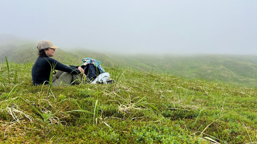
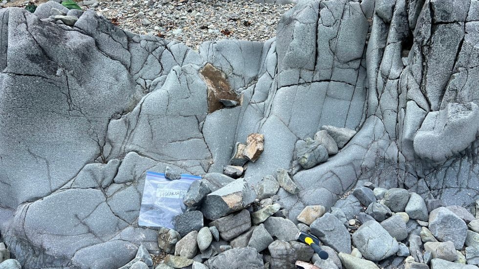
Travel was a challenge. With only a few roads, most of the island was only accessible by boat or helicopter, so the research team often found themselves traveling “off the beaten path” via hiking and a two-day boat trip on the Miss Alyssa. Cooperdock described one hike as an “epic day of bushwhacking through streams and shoulder-high grass to access samples.” Despite the challenges, the team were able to collect 30 new samples to study the local landscape.
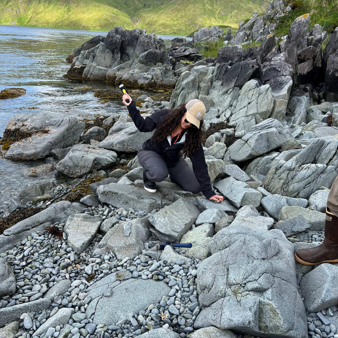
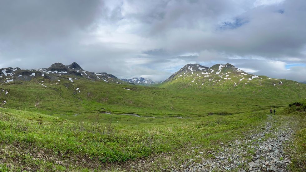
The difficult terrain is illustrated by the fact that most of the geologic maps of the region are from the WWII era, and are drafted using aerial photography, as the geologists of the time could not access most of the island on foot. “We'd find rock types that were not mapped, the contact between units would be off by 100's of meters, and in most places it is so green and grassy that you cannot see faults or contacts that are drawn on the map,” Cooperdock explained. “There were a lot of inferences made on those older maps and it is helpful to know which observations we should use to make interpretations and which to not take too seriously.”
This trip will help interpret data from a 2015 NSF GeoPRISMS campaign that Emily Cooperdock and Steve Goldstien participated in, and also help collect new samples so that future students can interpret the data. “We now have a bunch of new samples that I would be excited to get an undergraduate at Brown involved in analyzing,” said Cooperdock.
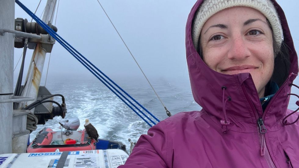
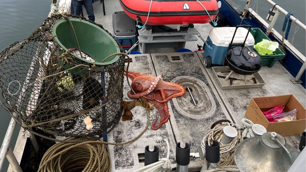
The Aleutian islands are a vibrant and captivating landscape, rich in natural activity of all kinds. From a bald eagle hitching a ride back to the land on the team’s boat, to sighting seals and otters around the island, the team reported many exciting wildlife encounters. At one point, their captain checked the crab traps for dinner only to find a large octopus!
The team also had ample opportunity to learn about the local history and culture. At the Museum of Aleutians, they learned about the Native Aleutian community and traditions, the first Russian visitors, and the impacts of World War II. Having arrived on July 3rd, the team had the opportunity to attend the local Fourth of July parade.
The Aleutian arc is a great example of how geological fieldwork can be a holistically rewarding experience which exposes scientists to uncharted and fascinating terrain as well as history.
“When I came in 2015 I thought it would be a once in a lifetime experience," Cooperdock shared. “Now to visit again 9 years later, I realize that you never know where Earth Science research will take you. Every time we can visit and collect samples in such a remote place is unique and special.”
